
Map Plum ZIP Code Coverage
Allegheny County’s solid-waste plan identifies three delivery ZIPs in Plum Borough: 15239, 15147, and 15068. That county listing establishes municipal association, but it does not publish a street-by-street delivery-boundary map, station assignment for every ZIP, population count, or a realignment history. Treat each entry as a verified starting point. USPS is the delivery check for a full address, while county assessment and GIS records establish the municipality and parcel context.
| ZIP | Areas Covered | Post Office | Notes |
|---|---|---|---|
| 15239 | Primary borough municipal, library, school, and administrative mailing area; county lists it in Plum. | USPS PLUM, 3100 Leechburg Rd, Pittsburgh, PA 15239-9998. | Pittsburgh is a common mailing city and does not establish City of Pittsburgh jurisdiction. |
| 15147 | Listed by the county within Plum Borough. | Exact station not located in the official material reviewed. | Verify the delivery boundary and exact neighborhood address by address with USPS. |
| 15068 | Listed by the county within Plum Borough; Logans Ferry VFD uses a New Kensington 15068 mailing address. | Exact station not located in the official material reviewed. | The mailing clue suggests overlap near Logans Ferry but does not prove a boundary. |
This Plum ZIP code directory does not assign every road or neighborhood to a postal zone because the county source does not support that level of detail. Note: A ZIP is a delivery geography, so a full address must be validated before it is used to select a record custodian.
Read Plum Postal City Labels
The clearest local mismatch is 15239. USPS lists the PLUM post office at 3100 Leechburg Road with a Pittsburgh, PA 15239-9998 address, and county and borough pages often use Pittsburgh, PA 15239 for Plum facilities. The postal city is part of mail delivery. It does not turn a parcel into a City of Pittsburgh parcel or move a borough record to a different jurisdiction. Check the Municipality field and PIN in the county assessment record when jurisdiction matters.
The USPS location listing for PLUM provides the verified office address for the primary Plum ZIP.
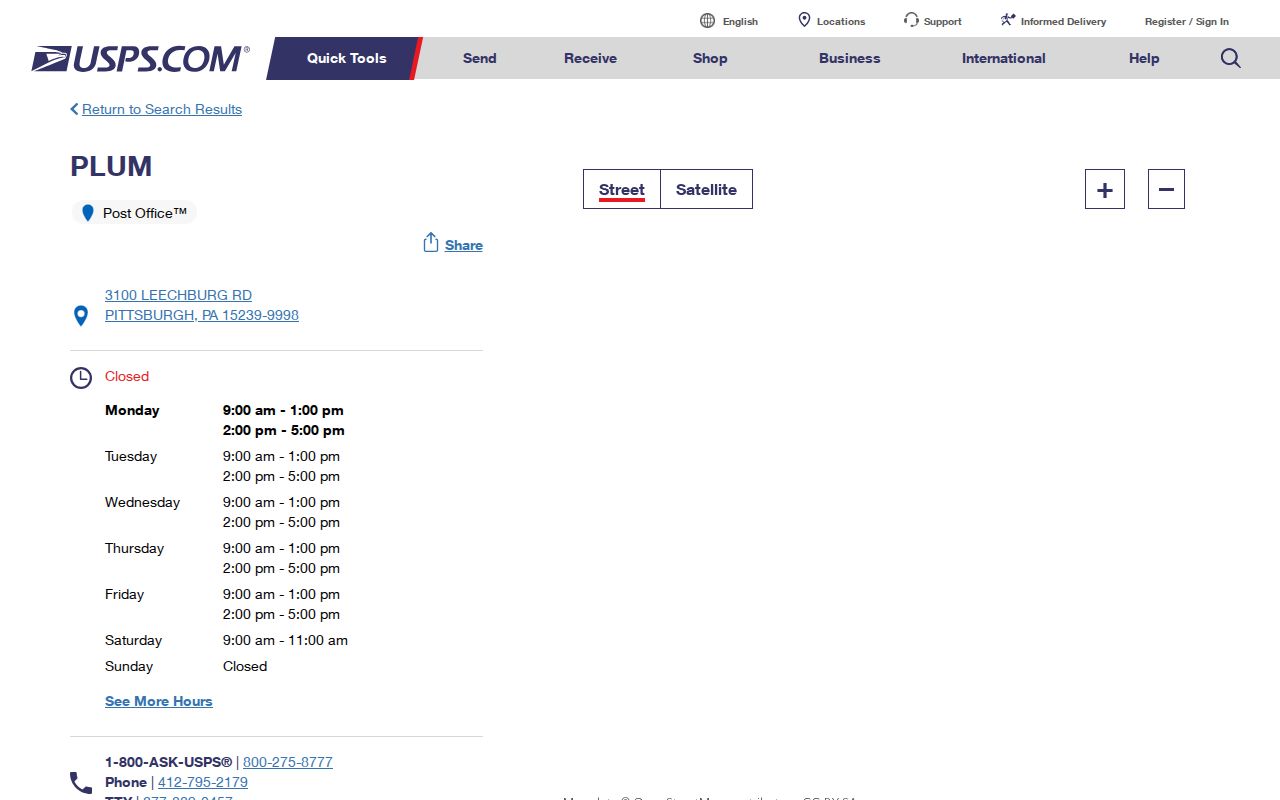
The listing is useful for confirming the postal-office label. It is not a municipal-boundary map or a resident directory.
The same caution applies to nearby postal names. The county source supports the presence of 15147 and 15068 within Plum Borough, but it does not support an exact claim that every address with either code belongs to a named Plum neighborhood. This ZIP code directory preserves that gap instead of drawing a false line. For a particular address, the delivery result and the county parcel’s municipality are the two records to compare.
Search Plum Records Beyond ZIP
There is no public postal-code filter on the Allegheny County Real Estate Portal. Its address form uses house number, street name, and municipality, with a separate parcel-number mode. The GIS Viewer supports address search and parcel context, but the county’s GIS page does not document a ZIP filter either. A ZIP can help check a delivery address, then the researcher must move to the property’s municipality, street, and PIN for county records.
- Validate the complete delivery address with USPS and retain the ZIP exactly as returned for mail purposes.
- Search the Allegheny County Real Estate Portal by house number and street name, selecting Plum when appropriate.
- Record the situs address, municipality, PIN or block-and-lot, and the deed reference from the correct parcel result.
- Use the GIS Viewer to see the selected parcel and its geographic context, not to infer a ZIP-wide resident list.
- When a street is known, use the Plum street directory workflow for the address-to-deed chain rather than trying to search a whole ZIP as if it were a county record field.
Pennsylvania’s individual voter-status tool is also not a ZIP browser. It confirms the status of one person through the state’s defined matching process. The controlled voter-list products are separate electronic requests with defined fields and restrictions. The Street List includes residence and mailing addresses, party, and active or inactive status, but the form does not turn a postal area into an unrestricted people list. It states a $20 price per list or request for a county or all counties, requires an affirmation, and prohibits Internet publication.
That distinction keeps the Plum ZIP code directory focused on geographic validation. If an address narrows to a specific street, use a parcel, recorded deed, or dated directory entry that actually identifies the address and its time period.
Check Plum Parcel Fields
The county portal’s documented fields show why the ZIP code directory method needs a second step. It can find a property by its street address or parcel number and return county-defined identifiers and assessment information. The ZIP field is absent from the public search form. A search should therefore use the postal number only to validate delivery, then use the county fields to identify the physical parcel that a deed, map, or municipal request can recognize.
| County search field | Input | ZIP role | Record result |
|---|---|---|---|
| House Number | Text, optional | ZIP is not entered here. | Helps narrow the street-address search. |
| Street Name | Text, required for address route | Use the actual street, without suffix in the portal. | Matches the assessment address. |
| Municipality | Optional dropdown | Select Plum to resolve municipal context. | Reduces countywide matches. |
| Parcel Number | Text, required in parcel route | Independent of the postal zone. | Reaches the PIN or block-and-lot record. |
Parcel data can show owner, situs and mailing addresses, sale and deed references, tax fields, map, and building views. The owner mailing address remains a tax-delivery field, not evidence that the owner lives at either address.
Use USPS for Plum Delivery
Use USPS to validate an address and its delivery ZIP. Use the county assessment portal and GIS Viewer to validate municipality and parcel placement. Use a deed’s legal description and PIN to validate land-record continuity. These tools answer different questions, and none should be used as a substitute for another. Census ZCTAs, geographic estimates used for census data, should not replace official USPS delivery boundaries.
When a county or borough facility has a Pittsburgh postal address, retain that label in notes but verify the municipality separately. This split prevents a common error: assigning a Plum parcel to Pittsburgh solely because the postal city says Pittsburgh. It also avoids the opposite error of assuming every address with a listed Plum ZIP is inside the borough without checking the county record.
For a municipal permit, inspection, or code file, use the physical Plum address in a focused Borough request. For land history, use the PIN and legal description through the Division of Real Estate. For a court or marriage record, use the relevant county custodian. Each route follows the record’s jurisdiction and search fields, not the postal shorthand. A ZIP code directory is useful when it directs the researcher to the next verified identifier.
Keep Plum Historic Labels
Plum’s record geography predates its current borough label. Plum Township was founded in 1788 as one of Allegheny County’s original townships and reincorporated as Plum Borough in 1956. Historic research can therefore encounter Plum Township, local settlement or post-office names, and Pittsburgh mailing labels. The right response is to preserve the source’s original wording and compare it with a date, legal description, plan, road name, and county parcel identifier.
The county’s Plum Borough community profile supplies the municipal geography used to frame that distinction.
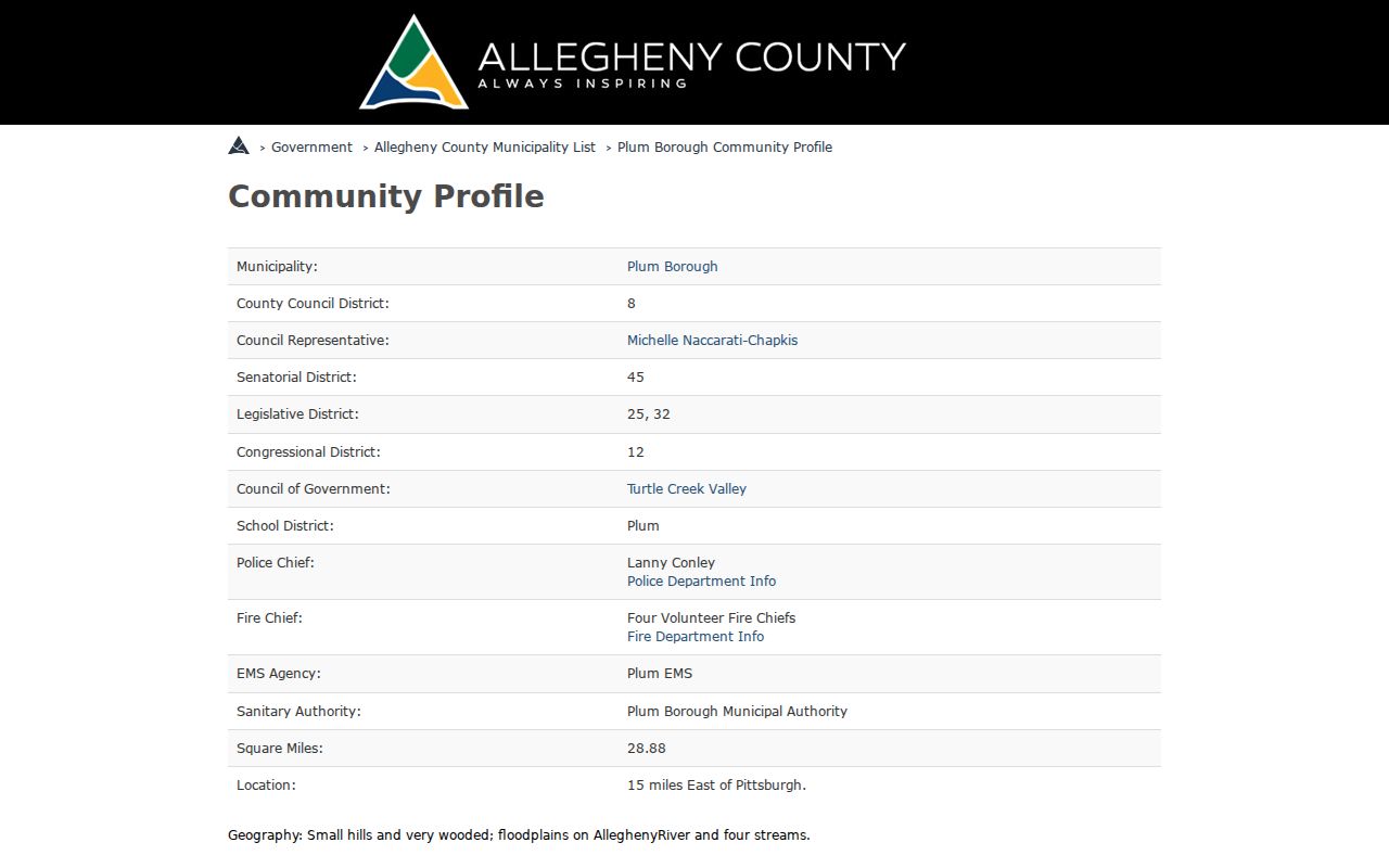
Plum’s broad, wooded, river-and-stream geography and its mix of historic mining settlements and later development make continuity checks especially important when an old address has a different-looking locality name.
Define Plum ZIP Code Terms
Postal boundaries and Plum Borough limits serve different systems. The ZIP guides mail sorting and delivery. The municipality identifies local government. A PIN connects county assessment, GIS, and deed work. A legal description controls the land record. Keep the terms separate, especially when a postal city appears to conflict with the place name used by a borough or county office.
- Situs address
- The physical parcel location shown as Address in the assessment record.
- Owner mailing address
- The tax or assessment delivery destination, which can differ from the situs address.
- Parcel number or PIN
- The county identifier, sometimes displayed with block-and-lot information, that links assessment, map, and deed research.
- Legal description
- The lot, plan, metes-and-bounds, or prior-deed-reference language that controls the land record.
- ZIP+4
- An added delivery detail after the five-digit ZIP; it does not change municipal or parcel jurisdiction.
- Carrier route
- A postal delivery grouping, not a census, borough, or resident-record boundary.
A PO-box ZIP is assigned for post-office-box delivery, and a unique ZIP is assigned for one organization or recipient. The official material reviewed did not identify either type as a Plum Borough-wide claim, so neither should be inferred from a mailing label alone.
Respect Plum ZIP Code Limits
A ZIP code directory can establish known postal associations and help validate a full delivery address. It cannot prove exact neighborhood boundaries for 15147 or 15068, identify every resident, or decide borough jurisdiction on its own. The county’s three-ZIP listing does not establish a ZIP split, realignment, or exhaustive street coverage. Confirm a real address through USPS, then confirm the municipality and PIN with the county before requesting property, land, court, or borough records.
County record systems also have their own access limits. The Allegheny Court Records civil, family, and wills portal is a record-specific online route that is account and CAPTCHA gated; it is not a ZIP-based index.
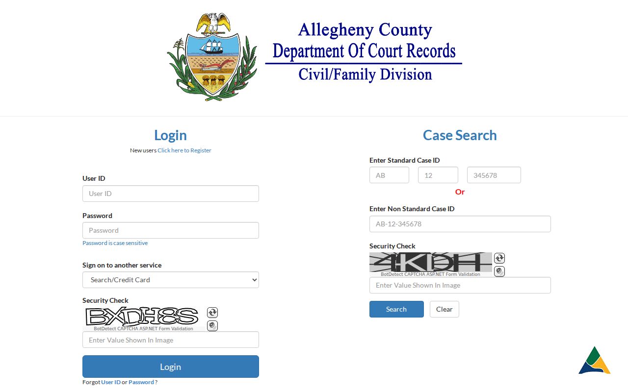
The portal image underscores a practical point: remote record access depends on the named custodian and its own fields, while a ZIP remains only one part of the address to verify.
Boundary check. Do not use a postal label as proof of a person’s location or as a reason to override the municipality, parcel record, legal description, or custodian’s access rules.