
Follow a Plum Street Address
For a street-by-street search in Plum, begin with an address rather than a person’s name. The Allegheny County Real Estate Portal ties a street address to an assessment parcel and its owner of record. From there, the county map and the recorded-deed index provide separate checks. A name found in a historical directory or a lawful voter product is a dated lead, not proof that a person lives there now. Keep the source, date, address form, municipality, and parcel identifier together in research notes.
- Search the street and house number in the county portal, then record the correct parcel’s PIN or block-and-lot, situs address, owner, sale data, and deed reference.
- Open the same address in the Allegheny County GIS Viewer. Use the parcel display to orient the property among adjacent polygons, not to identify a household.
- Use the parcel’s deed book, page, legal description, and parties in the Official Record Search to follow title documents backward.
- If a current civic record is genuinely needed, use Pennsylvania’s individual voter-status service for a specific person or request the controlled Street List through its statutory process. Neither is an open household browser.
- For older address leads, verify a regional directory volume’s Plum coverage before relying on an alphabetical or reverse listing. A date and a listed address are useful historical evidence, not a present-tense claim.
The resulting chain is address → parcel → deed reference → dated record. It is more reliable than treating a single owner field as a list of residents. Note: A current parcel result identifies assessment and title clues, while each person-related source has its own date and access limit.
Search Plum Streets Without Suffixes
The public portal is an address or parcel-number form, not a public owner-name form. Select the address route, type the Street Name without a suffix, add a house number when known, and choose Plum from the optional municipality list. The help file says the portal treats the street entry as a partial name and adds an ending wildcard. That lets a researcher browse a street segment, but results stop at 100. Add the house number or municipality when a broad street term produces too much.
| Portal field | Input | Required | Plum street use |
|---|---|---|---|
| Search by Address | Mode selector | Choose one | Use this route for a street query. |
| House Number | Text | No | It narrows a street result. |
| Street Name | Text | Yes | Enter no suffix; partial text receives a wildcard. |
| Municipality | Dropdown | No | Select Plum to reduce countywide matches. |
| Search by Parcel Number | Mode selector | Choose one | Use the PIN or block-and-lot route when known. |
| Parcel Number | Text | Yes in this route | Leading zeroes are optional and partial input is accepted. |
The county’s Real Estate Portal help file shows the documented search behavior and result pages.
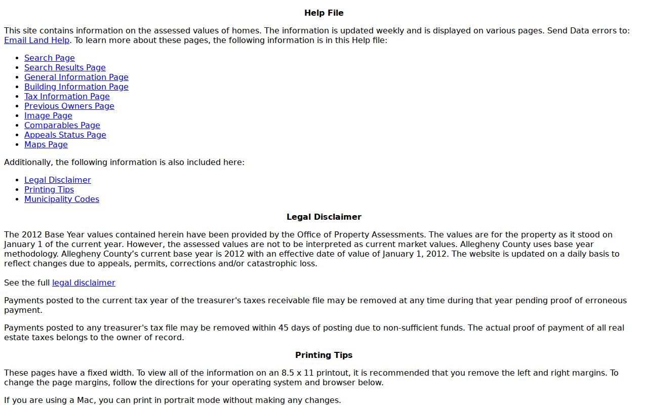
That official help material supports the address-first method, including the partial street-name rule, rather than an unsupported attempt to search the public form by owner name.
Read a Plum Parcel Record
A result list can show an owner name, street address, block-and-lot number, and municipality. Opening the selected parcel adds the PIN, owner mailing address, school and tax fields, class and use information, homestead or abatement flags, sale and recording dates, deed book and page, values, tax data, building views, and map pages. The prior-owner display is limited to the current owner and two prior owners. That short list is a starting point for a deed search, not a complete chain of title.
| Situs address | The physical parcel location shown as the address in the assessment record. |
|---|---|
| Owner mailing address | The destination for assessment or tax delivery. It can differ from the situs address and is not proof of occupancy. |
| Parcel or PIN | The county identifier connecting the assessment record, map context, and deed research. |
| Plat or plan reference | A recorded subdivision-plan reference that can preserve lot identity when a street label changes. |
| Criss-cross directory | A historical directory arranged by address or street where a verified volume provides that format. |
Use these fields with care. A homestead flag is assessment context, and a mailing destination tells where a bill is sent. Neither replaces a verified resident roll. The assessment Maps tab also outlines nearby parcels, but the county calls it reference material rather than a survey tool.
Map a Plum Street Segment
The GIS Viewer is the spatial part of a Plum street directory search. It supports address searching, parcel display, selectable layers, pan and zoom, linear and area measurement, basemap changes, printing, and sharing. After searching a focal address, select its parcel information and pan to the adjoining polygons. Each surrounding parcel must then be checked separately in the assessment portal for an owner-of-record field.
Do not label an arbitrary map area as a resident buffer. The county confirms the general mapping functions but does not publish a fixed verified list of live layer names or buffer-command labels. GIS data is valuable for locating parcels and checking adjacency; it is not a survey and does not establish that an owner, renter, or household member is present at the property.
Trace Plum Street Deeds
For a street record that reaches beyond the portal’s two prior owners, move from the parcel to the deed. Save the PIN, block-and-lot, legal description, current owner, recording date, deed book and page, sale data, and plan reference. The Division of Real Estate’s Official Record Search has Quick Search and Advanced Search options. Its term field supports grantor or grantee, subdivision, document type, and document number, and it can be limited by recorded-date range.
Start with Index Only when looking for recorded fields. The Index and Full Text option searches OCR content as a phrase when several words are entered, so it can help find a legal-description phrase or historic place name. OCR mistakes are possible. Confirm the indexed result and the document image, then use the deed’s grantor, grantee, legal description, plan-book reference, and prior-deed reference to locate the earlier instrument. Deed-index books at the Division of Real Estate are the confirmed historic fallback for deeds beginning in 1789.
The Allegheny County Official Record Search is the county’s recorded-land search, separate from the assessment form.
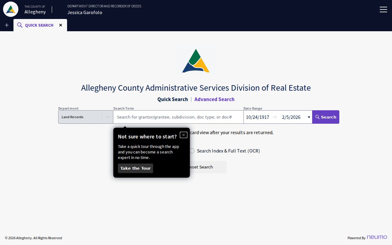
Its documented party, subdivision, document, date, index, and OCR paths help translate a street address into a traceable title sequence.
The county’s deed guidance describes the legal-description and parcel-identification requirements for recorded deeds.
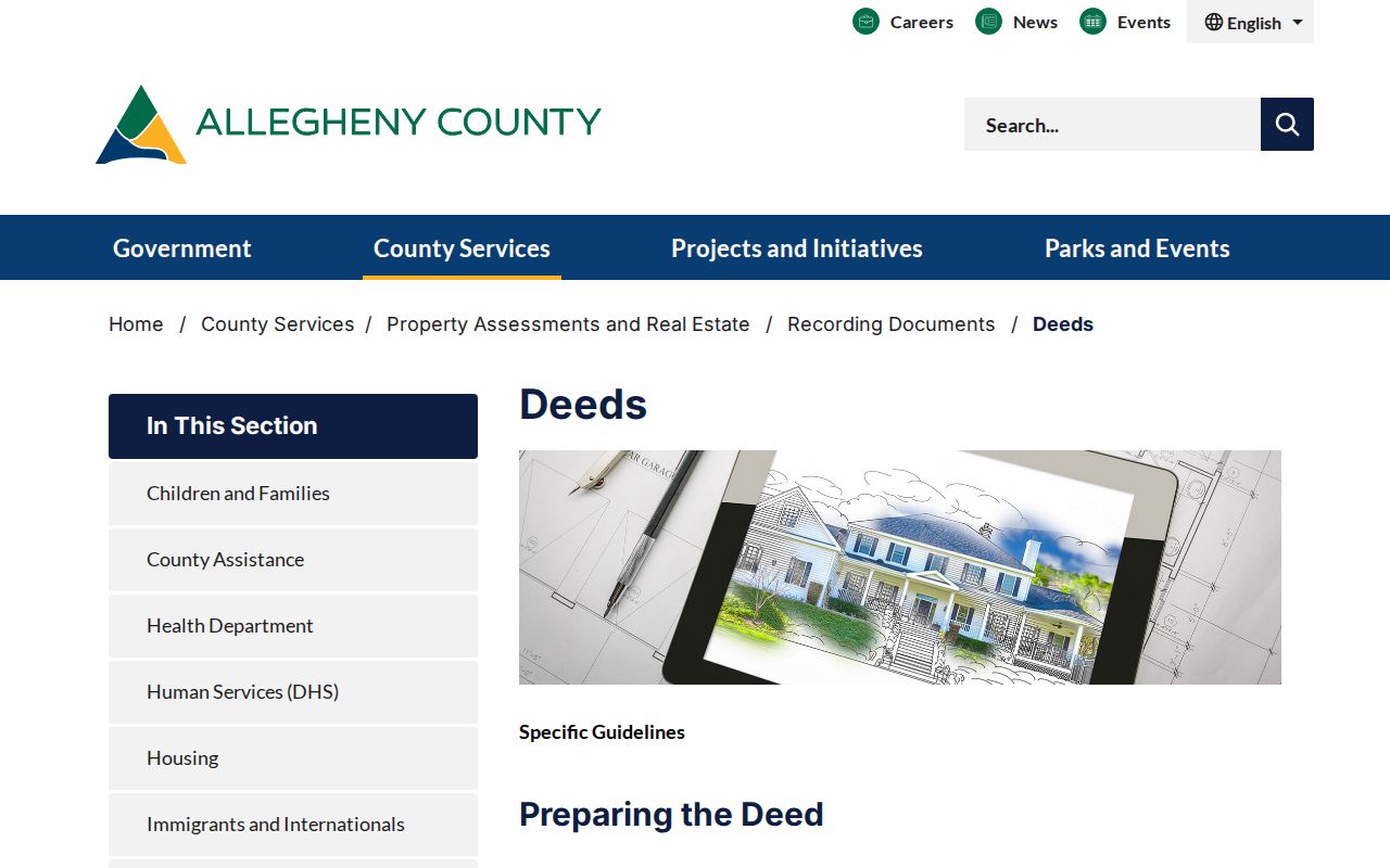
That requirement is why a plan, lot, metes-and-bounds description, or prior-deed reference can be a steadier research key than a street name alone.
Request Plum Address Files
Plum Building and Code Enforcement handles permits, construction, inspections, and code enforcement. The Borough’s zoning materials call applications, permits, certificates, written decisions, variances, and enforcement orders public-inspection records, subject to applicable exemptions. No searchable public permit portal was found. For a specific address, submit a focused request through the Plum Borough Right-to-Know route and identify the address, date range, record type, and the preferred inspection or copy format.
The portal’s daily-update statement for permits is a data-maintenance note. It does not make a municipal permit history visible online. County land-record copies have separate channels as well: the county copies and fees page covers counter, mail, online, and assessment-record choices. Confirm the current price and checkout rules there instead of assuming a scanned document is always freely available.
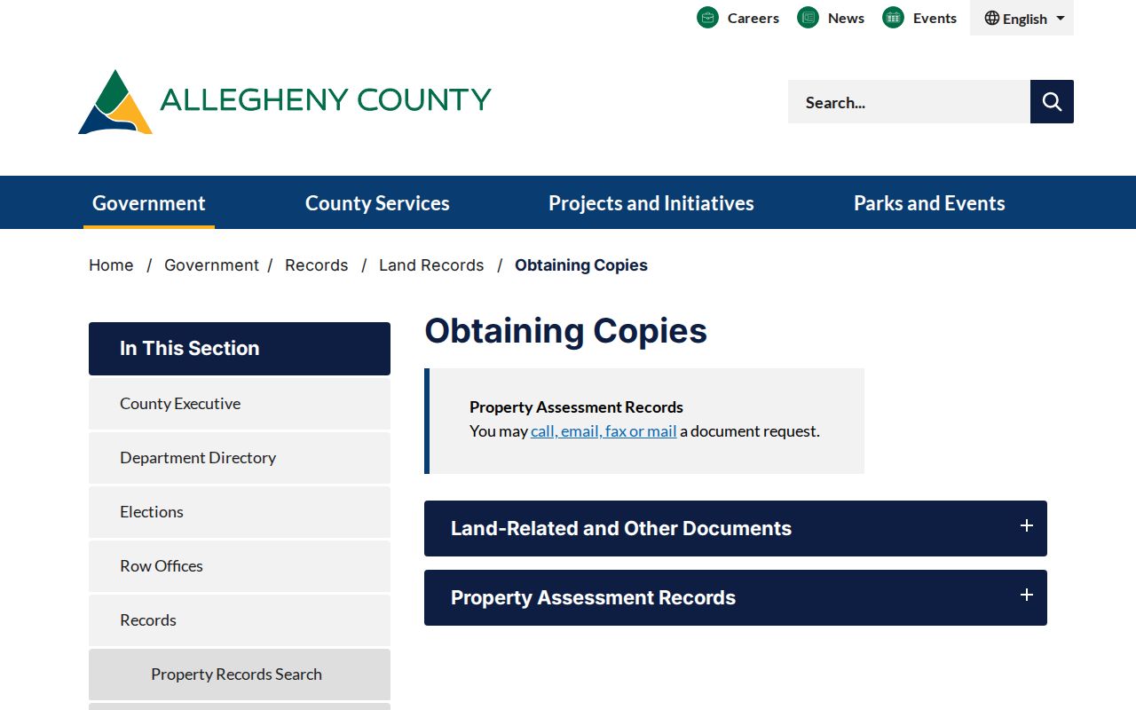
Using the stated copy channel preserves the distinction between a search result, a viewable document, and a copy ordered from the custodian.
Note: A narrow request for an existing address file is more likely to reach a record custodian than a request that asks the Borough to create a new list.
Keep Plum Historic Street Labels
Plum began as a township in 1788 and reincorporated as a borough in 1956. Older deeds, maps, directories, and local descriptions can therefore use Plum Township, a settlement or post-office name, or a Pittsburgh mailing label. This is a records-geography issue, not a change in county jurisdiction. Save the historical label exactly as found, then compare its lot, plan, parcel, municipality, and date with the modern record.
The Borough’s road material also names corridors such as Golden Mile Highway, Saltsburg Road, New Texas Road, Coxcomb Hill Road, Leechburg Road, Old Frankstown Road, Old Leechburg Road, Sardis Road, Webster Road, Renton Road, Repp Road, Kerr Road, and Center New Texas Road. Search full and abbreviated forms when a deed, plan, or old listing does not match a current-looking street string. Do not claim a borough-wide renumbering or a particular renamed street without a verified ordinance, map, or volume.
Allegheny County’s genealogical public-records page documents the county’s older deed, estate, and census research paths.
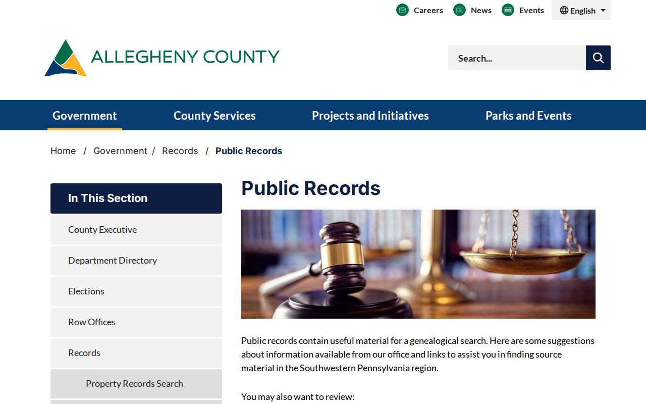
Those era-specific sources can support a careful address history after the parcel and legal-description chain have been established. The regional volumes themselves are covered in the Plum historical city directory material.
Apply Plum Street List Rules
Pennsylvania separates an individual voter-status confirmation from its statutory list products. The individual status service can be used with a full name or a PennDOT credential route and, after a match, the county says it displays party affiliation and a polling-place address. It is not a public browse-by-street directory. The state identifies online, county-office, and 1-877-VOTESPA contact paths for that individual check.
The Department of State Street List is a separate electronic request. It includes name, residence and mailing addresses, party, and active or inactive status. The form states a $20 cost per list or request for a county or all counties, requires a signed affirmation, and prohibits Internet publication. The Walking List omits mailing address, while other products contain different fields. Status is administrative information, not proof that a person is currently present, and party registration is not a ballot choice.
The Pennsylvania Department of State’s record-search page is a reminder that state systems have record-specific fields and limits; it is not a Plum street-resident list.
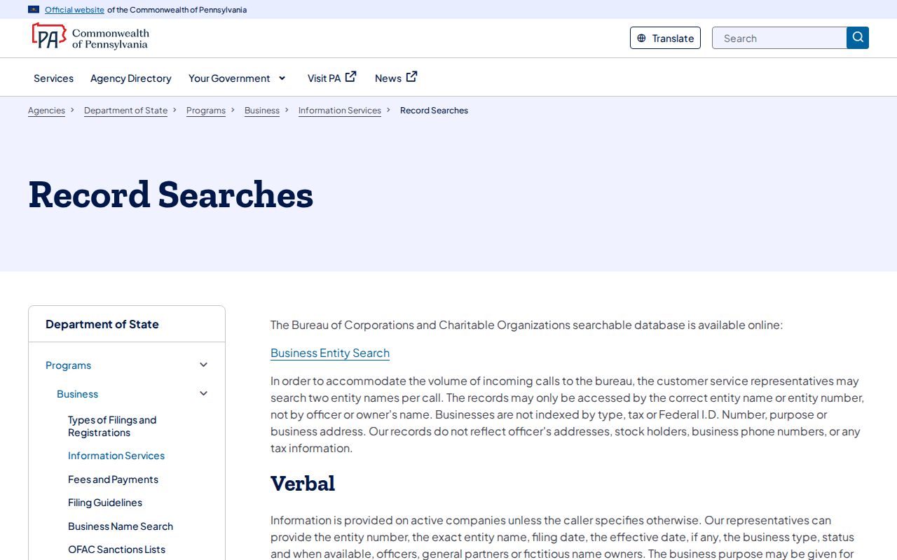
Use the voter-list request form for the controlled product and the county Elections office for local election administration, rather than treating unrelated state search tools as an address roster.
Compare Plum Street Records
Each address source answers a narrow question. A parcel record identifies the county’s owner of record and assessment data. A GIS view places a parcel in relation to others. A deed supplies parties and land continuity. Borough files can document a project or enforcement action. A directory or census entry may place a named household at an address on a particular date. Combining those sources is useful only when their identifiers and dates actually align.
| Address record | It can answer | It cannot answer |
|---|---|---|
| Assessment search | Which parcel matches an address, owner of record, mailing destination, and record references. | Every person who lives there or current occupancy. |
| GIS parcel browse | Adjacent parcels and map context. | A verified social or neighborhood roster. |
| Deed chain | Historic title parties and legal-property continuity. | A complete household history by itself. |
| Borough files | Project, inspection, or enforcement action at a location. | A universal online permit timeline. |
| Statutory voter Street List | Controlled civic-list fields by street. | Permission to publish or target residents, or ballot choices. |
| Directories and census | A dated household or listing clue. | Complete coverage of every Plum street or year. |
When an address crosses a postal-city label, validate the municipality through the county parcel record. A Pittsburgh mailing city can still describe a location in Plum Borough. Preserve the PIN and legal description so the research remains tied to land rather than to a fluctuating mailing label.
Respect Plum Street Directory Limits
A street directory can identify public property and dated record trails, but it cannot establish every renter, visitor, household member, utility customer, or DMV address. Pennsylvania DMV information is restricted by the federal Driver’s Privacy Protection Act. A county map is not a social roster, and an assessment owner or tax-mailing field does not prove who occupies either address. A missing record also has many possible explanations, including date, source coverage, access restrictions, and address variation.
Lawful personal use. Use Plum address records for careful, lawful research and respect custodian rules, restricted voter products, and protected addresses. Do not use any record to stalk, harass, or harm a person.
For a question about a single person rather than a street, seek an independent, date-appropriate official record and confirm it with the responsible custodian. Street records remain strongest as evidence about parcels, recorded title, and an address history.